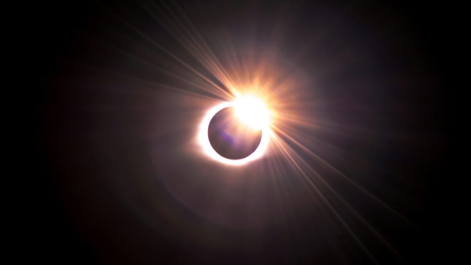
This afternoon for most Americans there will be a partial solar eclipse. For a small part of the country, the Moon will completely blocks out the Sun from view, forming a total eclipse. If you’re in the area hoping to see it (like myself), here’s the best tool to see if clouds will ruin depending on where you are.
Pivotal Weather Eclipse Portal
Pivotal Weather, a website that brings in weather models from agencies around the world, has set up a portal that shows cloud cover models during the eclipse time for free. Some of these models would usually cost some sort of monthly subscription but for the last week and most importantly today, it’s free for everyone.
As of writing this there are four models you can check to see predictions about what it thinks the clouds will look like later today. These change regularly and of course they are just models, practically guesses as to what the weather will be like in the future. If you would have checked them a week ago they would have said no spot in the US was good for eclipse viewing, today it is pretty much the opposite.
The first model is the hi-res rapid refresh, this hourly model splits the clouds into two categories, low-mid clouds and high level clouds. You can think of the low-mid clouds like your storm clouds or big puffy and white clouds. These are thick and cast shadows on the ground, meaning you won’t be able to see the Sun.
Join our Discord Server: Join the community with forums and chatrooms about space!

High level clouds on the other hand are the thin wispy clouds you see on most clear sky days. For most of the pass in the most recent model as of publication shows these clouds covering most the path, but that shouldn’t be a big deal. In this model, low-mid clouds are blue and high clouds are orange, you’ll want to avoid the blue if possible.
The next model to look at is the Short Range Ensemble. This runs four times a day and shows the potential percentage of cloud cover average across all of its model runs. Basically, the higher the percentage, the more clouds. This model does not take in account the types of clouds, so use both this and the previous model together.
The third model is the NWS Blend. Put out twice a day by the National Weather Service, it is very similar to the Short Range Ensemble as it shows the same data in the same way. This will however be different as they use different models.
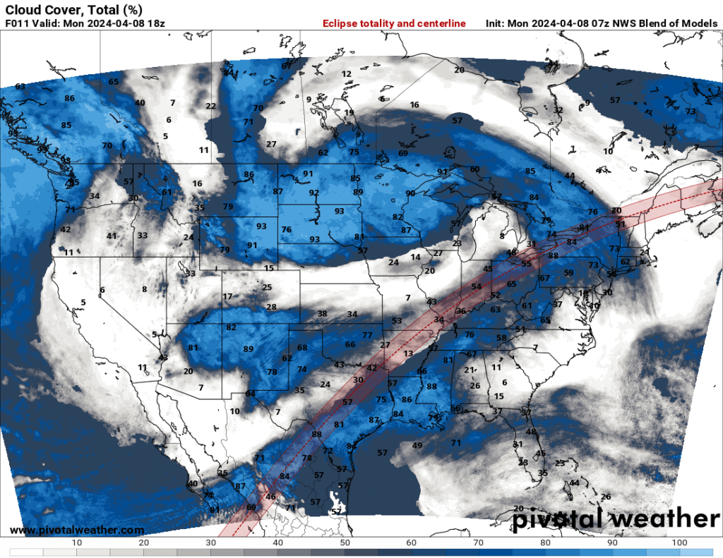
No two models are the same and there is no way to tell which is going to be correct. Use both the blend and ensemble as tools for making your decision.
The final item, while not a model, is an image from the GOES-16 weather satellite. This shows the current look of clouds from space and is updated every five to ten minutes. Clouds are very dynamic parts of the weather system so getting a look of what is going on right now can help with picking the right spot.
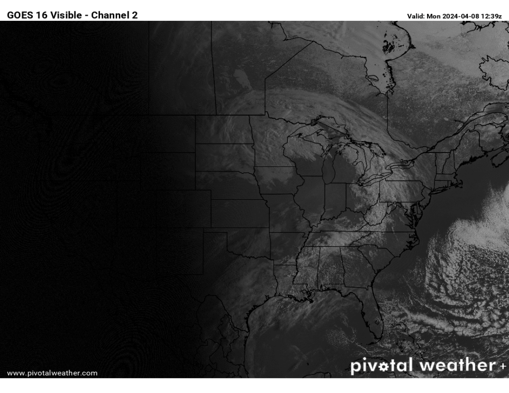
However, there is more to cloud formations than just seeing clear skies west of you on the image. Clouds can develop out of no where do to various reasons and depending on the current state of weather systems in the area. Hopefully the local news station will have a better idea and more details as to what is happening near your viewing location.
Drive safe and happy hunting!
FTC: We use income earning auto affiliate links. More.


Comments